 Catálogo Metadados IDE TOCANTINS
geoscientificInformation
Type of resources
Available actions
Topics
Keywords
Contact for the resource
Provided by
Years
Representation types
Update frequencies
status
Scale
-
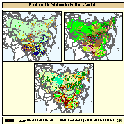
Physiographic maps for the CIS and Baltic States (CIS_BS), Mongolia, China and Taiwan Province of China. Between the three regions (China, Mongolia, and CIS_BS countries) DCW boundaries were introduced. There are no DCW boundaries between Russian Federation and the rest of the new countries of the CIS_BS. The original physiographic map of China includes the Chinese border between India and China, which extends beyond the Indian border line, and the South China Sea islands (no physiographic information is present for islands in the South China Sea). The use of these country boundaries does not imply the expression of any opinion whatsoever on the part of FAO concerning the legal or constitutional states of any country, territory, or sea area, or concerning delimitation of frontiers. The Maps visualize the items LANDF, HYPSO, SLOPE that correspond to Landform, Hypsometry and Slope.
-
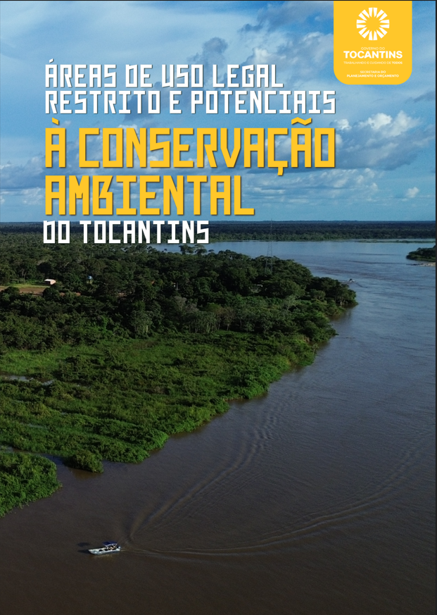
Este documento sintetiza dados espaciais sobre as áreas de uso legal restrito e potenciais à conservação ambiental no estado do Tocantins. Destina-se a apoiar as atividades de planejamento da gestão territorial, bem como subsidiar o conhecimento sobre a proteção e conservação ambiental, territórios indígenas e comunidades remanescentes de quilombos no Estado.